1 / 3
01 / IN THE AIR
Aerial Mapping and Photogrammetry
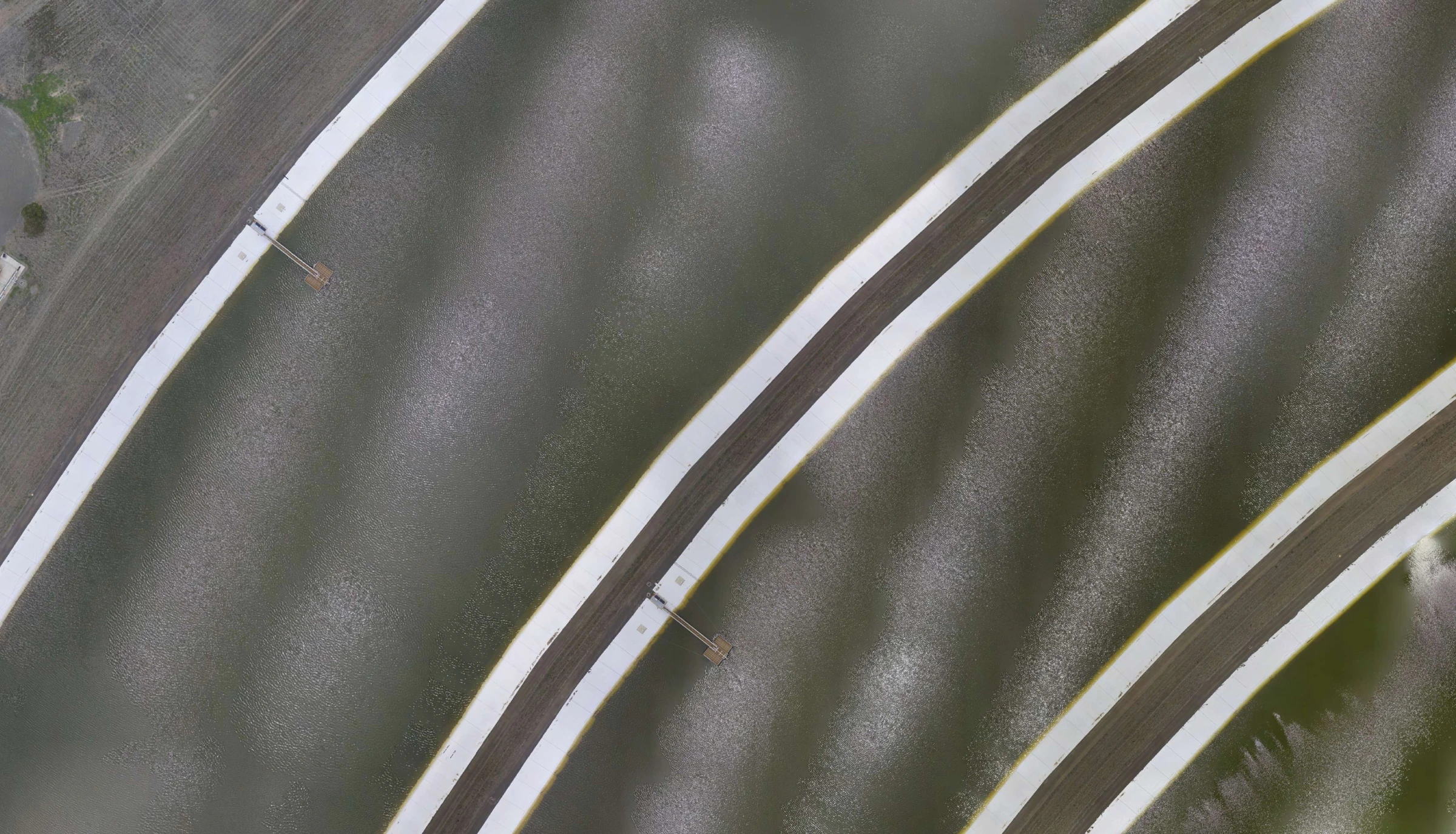
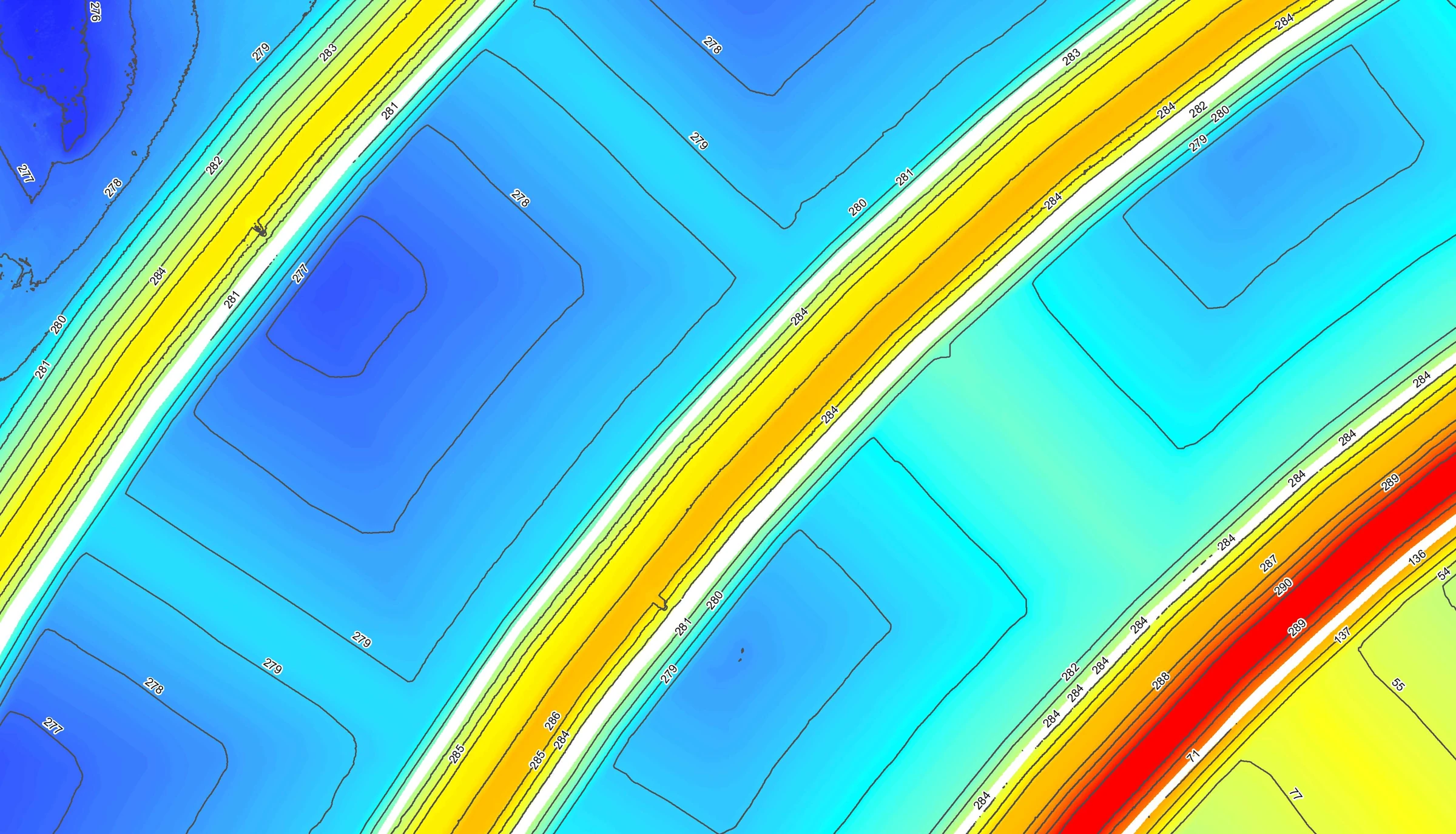
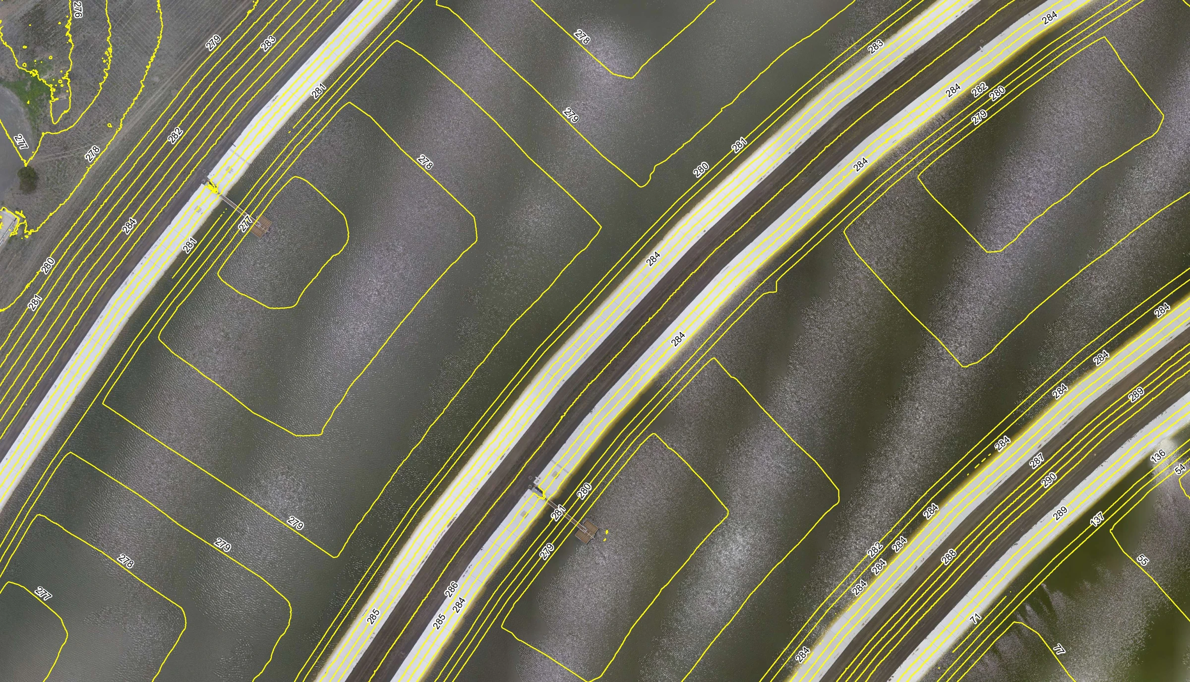
Our custom-built octocopter was developed over 15 years ago. It now has the latest in gimbal technology from Gremsy and high-definition Sony optics specifically designed for aerial mapping that consistently produces sub-20 mm accuracies.
Our aerial mapping is ideal for:
- Ortho imagery between 1 cm and 5 cm GSD
- Construction, design and planning
- 3D modelling of stockpiles and construction progress calculations